Established in South Texas in 2003, Cenizo Services is a family-owned, SBE- and ESB-certified construction company that has been providing high-quality earthwork services for over two decades. Cole and Megan Evans, the owner-operators of Cenizo, worked for the original founders for a number of years and then bought the company in 2013. In our early years, Cenizo started out serving mainly the oilfield and ranching industries and, in years since, we have expanded the markets we serve to include the commercial, renewable energy, and natural resource extraction industries as well.
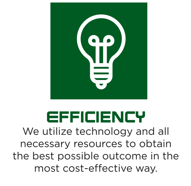
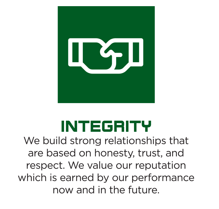
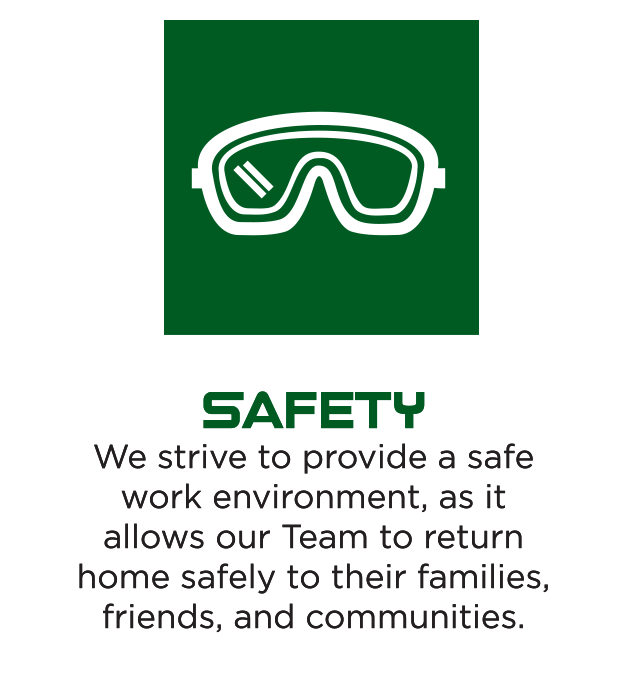
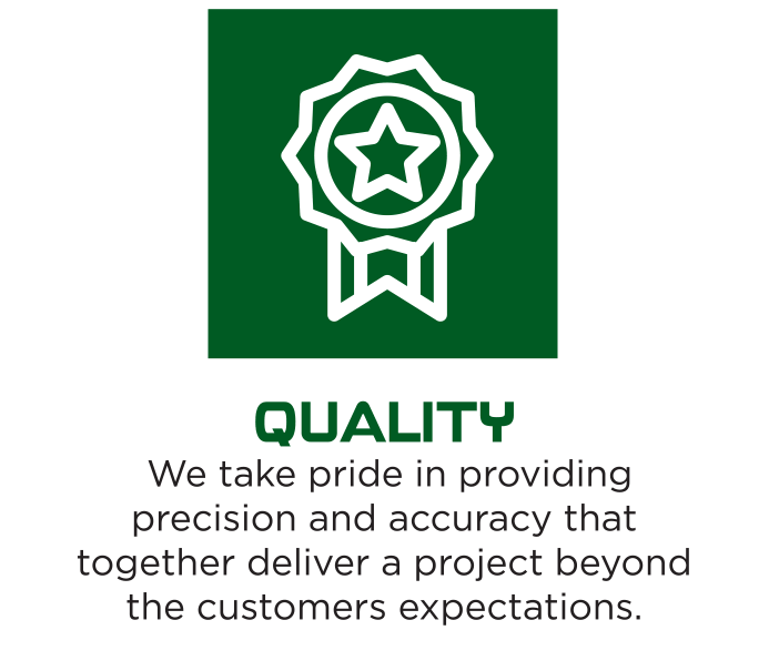
Cenizo Services operates based upon our core values of quality, efficiency, integrity, and safety. We are dedicated to the continued satisfaction of our customers and aim to exceed your expectations with every project.
CORE VALUES
CORE VALUES
OUR MISSION
To provide earthwork services that carry a reputation for outstanding quality, safety, and cost effectiveness and to provide a collaborative, rewarding, and safe work environment for our employees.